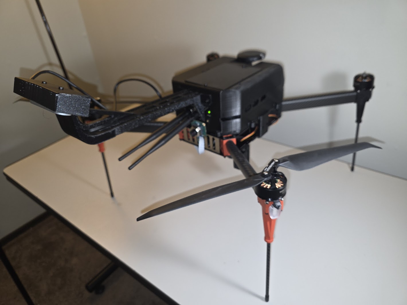
A complete autonomous drone navigation system featuring real-time SLAM, obstacle avoidance, and mission planning capabilities for GPS-denied environments. Developed under ATRC funding.
Navigation Stack
- Visual-Inertial SLAM using stereo cameras and IMU
- Real-time occupancy grid mapping
- A* path planning with dynamic replanning
- Model Predictive Control (MPC) for trajectory tracking
- Failsafe return-to-home functionality
Perception System
- Stereo depth estimation for obstacle detection
- Optical flow for velocity estimation
- Feature tracking for visual odometry
- Loop closure detection for map consistency
Hardware Platform
- Custom quadrotor frame with 20-minute flight time
- Pixhawk flight controller with PX4 firmware
- NVIDIA Jetson TX2 companion computer
- Intel RealSense stereo cameras